Sierra National Forest – John Muir Wilderness

left home Thursday at 5:30, Madera by 9:30. Left Madera at 9:30, made it to end of Kaiser pass road around 1pm. Passed 8 cars, no backing up required. note that it was in the season and earlier than the 1st day of hunting season.

set up at double site #27 with the giant, sloped granite slab wall backing us. (great for star gazing).

granite slab wall behind campsite.

campsite had potable water and garbage / recycling. pit toilets, no sinks (wash up at your campsite)

hike #1 – Florence Lake to crater lake and beyond

at Dutch lake

typical trail section
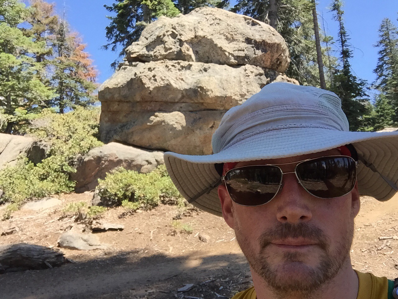
for M

crater lake, john muir wilderness

cross country to hidden lake

hidden lake. talked with some hunters/backpackers

finding dutch lake from hidden lake was east, finding the trail back to florence, not so much

namesake

trail on the return with great views. watch your step, trekiin poles are a good idea here

Florence lake on the return. the return was so hard i doubted that i had actually hiked up this sucker

day two hike – hooper diversion road allnd the creek from florence lake

grazing meadow just after river crossing (boots and socks off on eay in and boots on going out since it was last hike of trip

cool zipline over river for people and toold

day 2 walk in campground through wild life are and jackass meadow

see the deer?

see it now?

jackass meadow at dusk


Point Reyes – Limantour – Bayview, Laguna, Coast, Fire Lane

I now have come to understand that trails marked as bycicle routes are gravely roads–not very enticing hiking trails.

The route back is the winner here. If you had enough time to stretch this 10 miler into a beach afternoon before your return all the better. (Though if the beach is what your after, skip to the hostel or further and you’ll bypass hours of hiking and lots of incline on the way out.)

What next? Instead of this route, what about: Limantour > Sky > Woodward Valley Firelane > Sky. 9.5 miles and fire lane up-and-out will be quieter and more challenging then Woodward out(?).


Kings Canyon – Cedar Grove – Lewis Creek Overlook Loop

The Lewis Creek Trail loop was longer, steeper and better than I imagined. 7+ miles, 1,600′, 3.5 hours?! Lots of stops to relax and take it in. The last 1.5 miles E->W back to the TH kinda sucked, but at least there was an outhouse along the way.


Kings Canyon – General Grant Grove – Lookout Point to Fire Lookout

Thabk you, park ranger at the visitor’s center, way to recommend a good hike without being prescriptive. 

Excited to arrive Monday morning, I asked about hikes in the area I could do while the rest of the crew was en route. The ranger quickly steered me to a distance and elevation gain that took into consideration my just arriving at 7,000′ from basically sea level.
Drive up to lookout knocked 1k feet off and the hike still had a nice up-down-up of 600′ over 6+ miles of ridge-hike views.

Volunteers at the fire lookout were great. Should have taken more pictures!


on the road CA-180E


Point Reyes – Five Brooks Trail Head – Stewart, Coast, Old Out Road, Almea, Greenpicker, Stewart Loop

15 miles and nearly 2,700′ gain. Stewart is a “bike” trail, which seems to mean a gravel road when in Point Reyes’ south district. This route is 6.7 miles to Wildcat Camp / the seashore. If you were camping at Glen Camp or Wildcat I’d recommend checking out Old Out Road and Almea. Heading to Alamere Falls? Stewart > Alamea > Old Out > Coast would be interesting but it’s ~6.5 out (4.2 out from Palomarin).

Tough to recommend as a day trip unless your trying to do all the routes. Makes sense if your camping in the area, otherwise … There’s a reason this one isn’t in the day trip books.

Good if you want to have a long hike without crowds (as long as you start early enough to get off Stewart).

What to do? Thinking that 5 brooks th > Stewart > greenpicker > almea > old out > coast > lake ranch > ridge > stewart (14.4)  Or … lake ranch > bolema > olema valley a smidgen shorter)
 

15 miles, 2,700′ gain


broad, gravel, plenty of horses


near fir top


from stewart trail, first view towards wildcat camp. it felt like the mile markers were off, its a long way to wildcat from here


Old Out and Almea saved this day teip for me


looking east feom greenpicker before stewart junction


zoom for horses


lots of horses start at five brooks


Point Reyes – Five Brooks Trailhead – Olema Valley, Texiera, Ridge, Bolinas (intended)

There is a downed tree and some sketchy “don’t hike here” obstructions on Texeira Trail  that made me turn around and do an out and back.

This was a weird one. About 6 miles in I came to a downed tree blocking the entire trail; scramble through bramble and get around and then encounter logs and branches pulled across the path a very regular intervals. The kind you see trying to block an unofficial trail. 

They start at least 3/4 of a mile from the next junction to the west. That’s unusual. NPS would not have done that. 

Started thinking maybe it’s local hikers or equestrians pissed at mountain bikers, but realized there aren’t connecting bike trails.

After a while, I got spooked, thinking maybe there’s an illegal grow operation in the area (plenty of water near by, harvest time in 1-2 months), haven’t passed anyone in 2.5 hours … So, I turned around an went back the way I came. 

In 4.5 hours, 2 equestrians on Olema Valley trail at 8 miles, a few others near trail head. Very remote feel.


5.2 miles from TH to Texiera


begins a little overgrown. toull be glad you wore long pants for this trail


old road bed. coimb starts 1/2 mile in after bridge.


begining is largely lush, was wet at 10:30am this morning


as the trail closes in those wet grasses start brushing against you


first meadow


a bit rainforrest-y


fog still rolling in around 11:30 am


sandy soil, no one around


trail starts to fade away


glad i wore the gaiters as i was getting quite wet


olema valley trail features several segments of hiking through tall grasses mixed with wooded climbs


these pretty orchid-like flowers caught my eye


this is the trail. it is easy to stay in it, but it doesnt appear that way at first glance


water crossing was easy in early July


fallen tree blocking Texiera


Taylor Mountain – Petaluma Hill Rd. Trailhead – 7/4

Quick morning hike before the July 4th festivities. Third time since opening day. The new Red Tail trail to the existing Western route makes for a fast entry to Taylor Mountain, especially if you are coming from the South.

Having worked many volunteer days helping to build this, I’m especially happy to see how popular it is already.  

worked several days heping the Sonoma County Trails Council build this new trail. More trails coming to Taylor Park, ~15 miles of new trails in the master plan IIRC


Quick climb and you’re looking down to the valley in < 5 mins


a lot of rock work was fone by hand on this trail mostly unseen — as it should be, right?


it’s about 1/2 mile from the TH to the Western Route. turning right loops down to the far end of the parking lot.


like the beginignof the Western Route (from Kawana Springs TH), this trail is largley shaded by oaks


a rock drain that i did a lot of work on 3-4 feet deep, moved most if the larger rocks you see by hand usimg a canvas sling and 3-4 people


long stretch of a very difficult section to build.


cattle gate. cows have always liked this section, they’re very used to hikers, move on by quietly and they are not bother

I’m


cows, Mount St. Helena in the distance


i take a picture of this tree each time i pass


making a right onto western going uphill


the ranch road on the right goes right up the face. skip it, its too steep and not meant for hiking. take the switchbacks that cross it instead. you’ll get to the top about the same time and get some extra steps in


view of Mt St Helena


on my way down, i passed this Dad and Son heading up a bit of trail I helped build😀


Point Reyes – Bear Valley Trailhead – horse, sky, coastal, bear valley trail loop

14 mile loop. Moderate. Horse trail is a pleasant ascent, less steep than the others options from upper BVT.
 

access horse trail by going right before the main BVT trail head, after the barns there is a singed junction and turn left


horse trail is a moderate upsloped trail with 80% cover and some nice views to the east


Nicassio resevoir to the east


200′ foot tree above this. roots popped through the rock and exposed the strata


Sky Trail, first look at damage form the Vision Fire (20 years ago)


Vision Fire recovery


Sky Trail east of Old Pine the teail starts to get a bit over grown


Sky Trail was quite overgrown in some place farthe east


approaching the coastal decscent the fog was still coming through around 1:30pm


Ah, the majestic Pacific ocean. (view improves at lower elevation)


changes to coastal scrub


wacky tree


also wacky


first glimpse of the coast looking north-ish


about 1/2 hour to get down to coastal trail

  W

Point Reyes is a big place. I’m sort of in the middle looking towards the norther portion (light house would be beyond this view)


on coastal trail looking down at bear valley trail. the spur trail to arch rick is closed. there was a big collapse earlier this year and its closed indefinitely. take a right and go north west on Coastal trail instead. in a short while (0.5 mile?) you can go down to Kellhambeach


Bear Valley Trailis not my kind of trail but you kinda have to deal with if if you want to day trip in this section (unless your day trips are 20+ milers)


typical BVT view.


there arw plenty of pretty things on BVT, but it gets crowded and is basically a hravle road. fairly flat with one easy up/down over the divide meadow


aspens


pretty view somewhere in the final 2 miles to TH. 14+ miles in 4:15. 10:30am start. before BVT i passed maybe 12 people in 10 miles. Sky Traill, try it for the solitude.


Point Reyes – Mt. Wittenberg to Meadow

 Mt. Wittenberg isn’t really all that much steeper than Old Pine or Meadow (coming from BVT heading to Sky Tr.) it’s not as scenic as Old Pine and there really isn’t a view. Worth it to get the peak, but Old Pine is nicer and Horse trail is more moderate of an ascent.

you get a few glimpse back East toward Olema


near the top (first signed junction) there’s an unsigned trail to the west that short cuts Z Traill and comes out at Sky and Z trail. on a clear day, the view from here would be nice


Meadow